Welcome to OUSE GILL BECK
Site of Importance to Nature Conservation (SINC)
This area, called the Fishpond, is looked after by Great Ouseburn Parish Council who manage it for nature diversity and the enjoyment of the public.
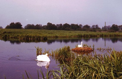
The site supports locally important ‘fen’ species including Lady’s smock, Meadowsweet, Wild angelica, Valerian and within the stream itself Water mint.
Living alongside Ouse Gill Beck are also many species of birds
including Reed warbler and Sedge warbler.
A larger occupant of Ouse Gill Beck reported by local residents is the
Otter. Otters will travel along small becks on their way to safe sites for resting up. Evidence of Otter in the form of tracks and spraint may be visible under the bridge.
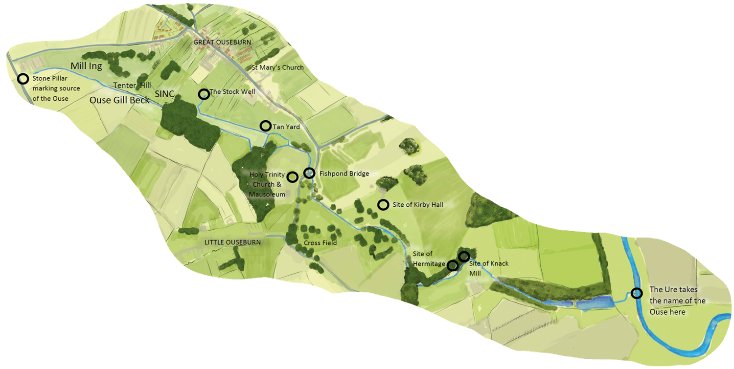
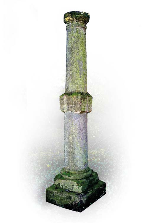
The stream ahead of you, Ouse Gill Beck, has had huge symbolic significance since pagan times. Rising from springs some 2 kms upstream, marked by a stone column erected in the 1700’s, it gently flows downstream to join the River Ure.
Ouse Gill Beck flows through a network of special wildlife sites
collectively known as Ouse Gill Beck Wetlands. This special wetland
is locally designated a Site of Importance for Nature Conservation or
SINC. Rivers and becks of any size are often rich in wildlife providing
homes for fish and invertebrates, food and water for land animals,
wetland habitats for specialist plants and watery passageways for
wildlife to move around the countryside.
Such was the beck’s status in ancient times that it outranked the vastly larger River Ure and hence at the junction of the two changed the name of the Ure to that of “Ouse”. Ouse Gill Beck also acted as a
boundary in the times of the Danelaw, separating two meeting areas
or “wapentakes”. At some time in its past the marshy area has been
drained so that a definite stream now flows.
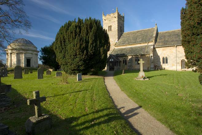
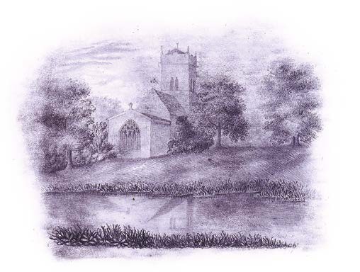
Straight ahead is Little Ouseburn church. Dating back to the 11th century and dedicated to the Holy Trinity, it possibly sits on the site of an earlier Saxon church. In 1200 it was referred to by King John as the Church of St. Saviour.
As well as the two churches of Little and Great Ouseburn, a third religious building is referred to in documents from 1407 and 1677, but little is known except its name “St Bega’s Chapel”
In 1840 Anne Bronte was employed at nearby Thorp Green Hall as a governess. She attended Little Ouseburn church and sat here to do
this sketch (Courtesy of The Bronte Society)
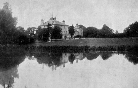
Kirby Hall was built in 1755 by the Thompson family, who also built the adjacent stone bridge, and the mausoleum next to Little Ouseburn church. The heir to the estate was killed in the First World
War, and the distraught owners felt unable to remain there. The family moved away and the hall was sold and pulled down in 1920.
The stream powered possibly three mills. One was the Knack or Thorp Mill on the boundary between Kirby Hall (Chirchebi) and Thorp Underwood (Knack is Middle English for sharp sounding blow and so it was possibly a hammer mill), it went out of use in the 1860’s. Another was probably at Mill Ing, which with the adjacent Tenter Hill (where cloth would have been stretched out to dry) formed a wool processing business. The third is possibly near the Tan Yard on the boundary between Great Ouseburn and Kirby Hall and may have been a Bark mill, used to grind wood bark for tanning leather.
At some time, the stream was constrained by weirs to form a lake which later became, in the 19th century, part of a pleasure garden stretching downstream to near the Knack Mill.
The PDF of the Interpretation panel can be viewed here.
‘This project was supported by funding from the Allerton Park Landscape & Cultural Heritage fund provided by North Yorkshire County Council and administered by Two Ridings Community Foundation ‘